
Usually surveyed to Ordnance Survey grid and datum and delivered to our clients in 2D & 3D CAD formats with PDF plots from the 2D model, our topographical land surveys are used for: -
Planning applications
Flood risk assessment
Tree surveys
Architectural design
Site layout
Highways and access design
Detailed engineering design
Pre-demolition survey
Post - demolition survey
Volume analysis
As Built drawings
A topographical survey of a greenfield site for a house building firm, who were hoping to obtain planning permission for residential land development.
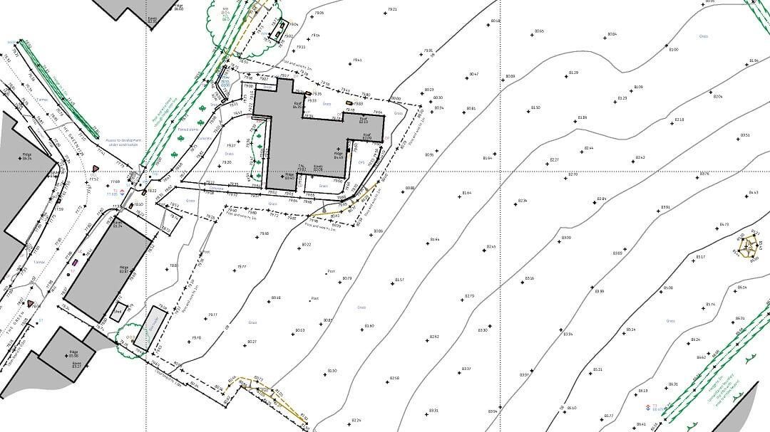
The project stage and the intended use of the survey data, both impact upon the specification of the survey. For example, detailed and accurate survey data on building footprints is usually unnecessary on a pre-demolition survey. Far more important would be the installation of a robust and accurate "off site" survey control network.
When a topographical site survey is required for a greenfield or cleared brownfield site, it can be cost effective to commission a full and thorough topographic survey that can be used beyond the planning and pre-planning stages.
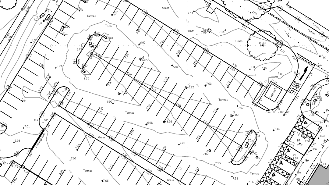
A topographic survey of a car park area from a large project. This survey was delivered in a BIM compliant format and included an underground utility survey provided by a partner.
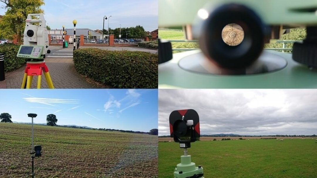
We believe investment in the technology yields the best quality and efficiency. We use high end Leica total stations and GPS units to survey the lines and levels on site and produce a DTM (digital terrain model) with supporting 2D and 3D CAD drawings. For larger, open sites, we may utilise our licensed drone pilot to collect data. We can also deploy terrestrial 3d laser scanners, where appropriate.
Land surveyors equipment being used on sites in Derbyshire, Leicestershire, Lincolnshire and Nottinghamshire.
Based centrally, we are ideally positioned to undertake large-scale topographical surveys nationwide, as well as smaller domestic projects within a shorter travel distance—typically within one to two hours of Nottingham. Every survey we conduct is either carried out or overseen by a chartered land surveyor or civil engineering surveyor, ensuring the highest standards of accuracy and professionalism. As proud members of the Chartered Institute of Civil Engineering Surveyors and a firm regulated by the Royal Institution of Chartered Surveyors, we are committed to delivering precise, reliable, and industry-compliant surveying services.