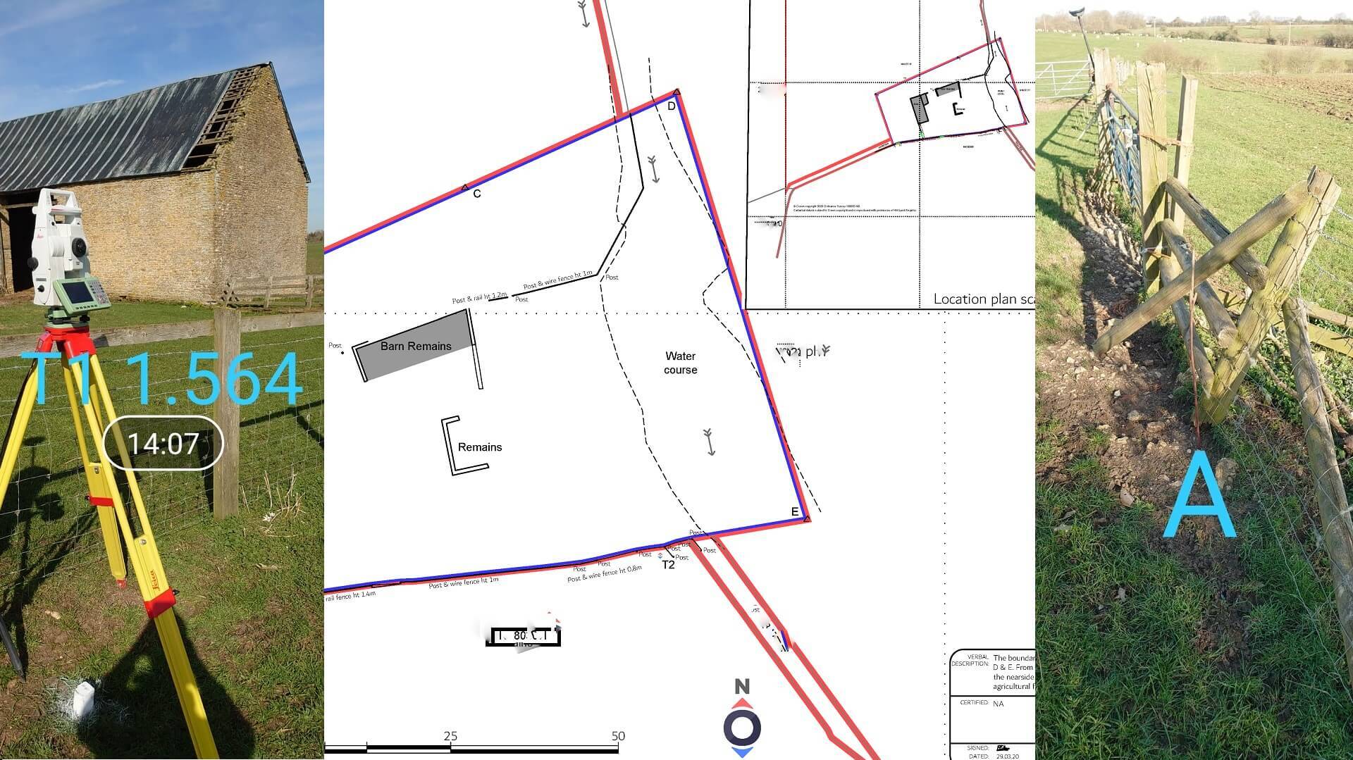
Following successful negotiations between the strategic land department of a national housebuilder and a rural land owner, Topographical.co.uk were instructed to survey the land in Northamptonshire and to prepare contract plans to accompany the legal option agreement entered by both parties.
In additional to standard topographical land surveying, we surveyed the existing boundaries and features within the large areas of land in Northampton that the landowner wished to retain. A number of new boundary points were established as per the previous negotiations and these were also surveyed and combined with the existing land registry records in order to produce an accurate plan of the areas to be retained and "sold" as per the option agreement.
Later down the line, if and when the option agreement is exercised, the survey data may be used to produce the conveyance transfer plan - in order to update the land registry database. Having the plan and survey produced by professional chartered land surveyors, means that both landowner and developer can at a later date, precisely relocate the intended boundary lines as documented within the contract. This may be called into evidence in the event of a dispute in the future or the plan may be registered and filed at Land Registry as an exact line of boundary determination, limiting the possibility of a dispute arising and/or providing a swift remedy.
Topographical.co.uk undertake land surveys nationally and can regularly be spotted on site in Northampton and Northamptonshire undertaking topographic land surveys, boundary surveys and other associated services.


