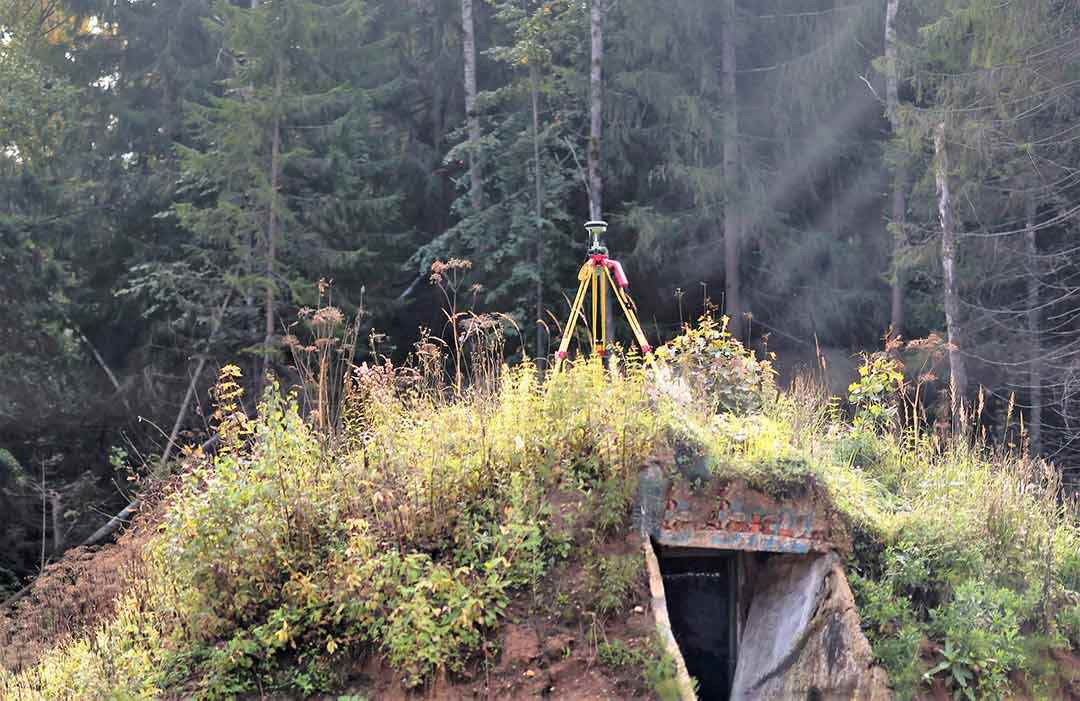
GPS technology was quick to be utilised for surveying and mapping applications having first been developed for military purposes by the US.
It's now one of a handful of Global Navigation Satellite Systems (GNSS) which provides geolocation and time information to receivers on the ground. Many land surveyors in the UK use GPS/GNSS receivers which have an integrated Internet connection. This provides real time corrections data to improve accuracy and real time coordinates. Additional GNNS's have been developed by other countries over the years and survey grade equipment is able to receive signals from satellites in multiple systems including GPS, GLONASS (Russia) , BeiDou/Compass (China) and Galileo (Europe).
GPS receivers are increasingly incorporated into the latest surveying and mapping technologies, to enable real-time geo-referencing of measured data. They can be found integrated into drones, total stations, bulldozers, survey boats and terrestrial laser scanners and more. Yet the humble survey pole mounted GPS receiver remains the land surveyors best friend in a number of situations.
Most survey and mapping projects in mainland UK should be carried out in the Ordnance Survey National Grid. Many relevant datasets used by design professionals and government entities, exist in this coordinate system.
By placing the GPS receiver over survey control stations and recording data, the entire survey can be coordinated to the correct place within the OS National Grid. Many surveyors will perform this step at the start and end of a day on site, or at specific time intervals. Research indicates that a better spread of satellites leads to a more accurate positioning solution.
The GPS unit can also be used to gather more general topographic detail, particularly in open areas and can be an incredibly efficient tool given that it only needs a line of site to satellites. This is the case even if the survey is carried out in an arbitrary or local coordinate system.
The chances are, if you're having a land / topographic survey carried out, GPS technology will be used by the land surveyors in some way. It's possibly the reason why the term "GPS Survey" has come to exist.
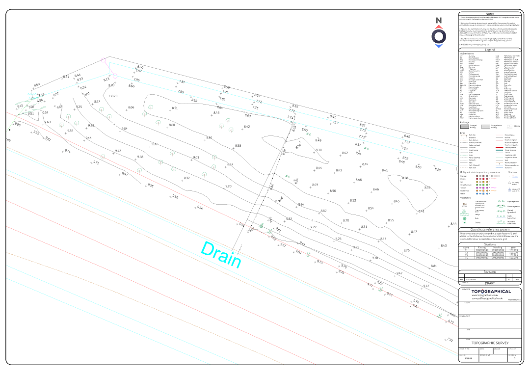
An example of a true GPS survey would be if a survey was conducted exclusively with GPS methods. In practice this is usually for high order survey control on large projects or it involves a taking a base map from Ordnance Survey and showing their version of topographic features present on the site (relatively low detail and accuracy). GPS "Smart Rovers" are then used to add a grid of levels across all open areas of the site. This can be done relatively quickly to provide a preliminary survey with valuable level information. It's common for these surveys to be expanded in specification later down the line as a sites viability increases and accurate topographic features are required for more detailed design tasks.

This type of survey is becoming less common with the advent of other rapid data collection methods such as laser scanning and drone surveys, but where vegetation and ground-cover renders gaps in the data, "boots on the ground" is the best method.
So yes, we carry out GPS surveys at Topographical - though we do find that the term is used interchangeably for land, boundary and topographic surveys.


