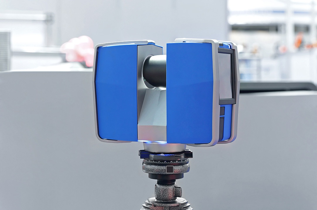
Like total stations, laser scanners rely on line of sight - they can only measure points visible from the instrument.
The critical difference being that laser scanners take up to and beyond 1 million measurements per second. The resulting data is often referred to as a point cloud. The surveyor can then process the point cloud in a multitude of ways to produce 2d and 3d deliverables. Many laser scanners are able to automatically add colour to the data points and overlay high definition imagery for full reality capture possibilities.
Due to the mass of data collected in a single scan setup, time in the field is drastically reduced. Though this is often compensated for by the extra time required to process the data.
This technology has established itself within the area of Building Information Modelling (BIM). It is the obvious choice of data acquisition for meshing/surfacing tasks and modelling of 3d solids. Traditional 2d drawings such as floor plans, cross sections and elevations can also be extracted or created from the data.
The sheer density of data can render laser scanners unsuitable for general topographic survey work. They also can’t measure ground which is obscured by vegetation. They are however particularly useful in situations such as: -
At busy road junctions by keeping the surveyor out of traffic. Where traffic management is required, costs are minimised by completing the field works relatively quickly.
For physically unstable ground (cliffs), all measurements can be taken remotely while the density of data ensures the irregular profile of the land is captured.
In isolated areas where the ground profile needs to be analysed in closer detail. For example, to determine the cause/extents of water pooling in a car park.
Laser scanners are capable of mm precision. However, the overall accuracy of the combined scan clouds and resulting drawings is subject to a multitude of variables.
If you’d like to read more about this topic, please see the links below: -
Royal Institution of Chartered Surveyors
Client Guide Terrestrial Laser Scanning
Chartered Institution of Civil Engineering Surveyors Client Guide Laser Scanning
The Survey Association
Client Guide Terrestrial Laser Scanning


