
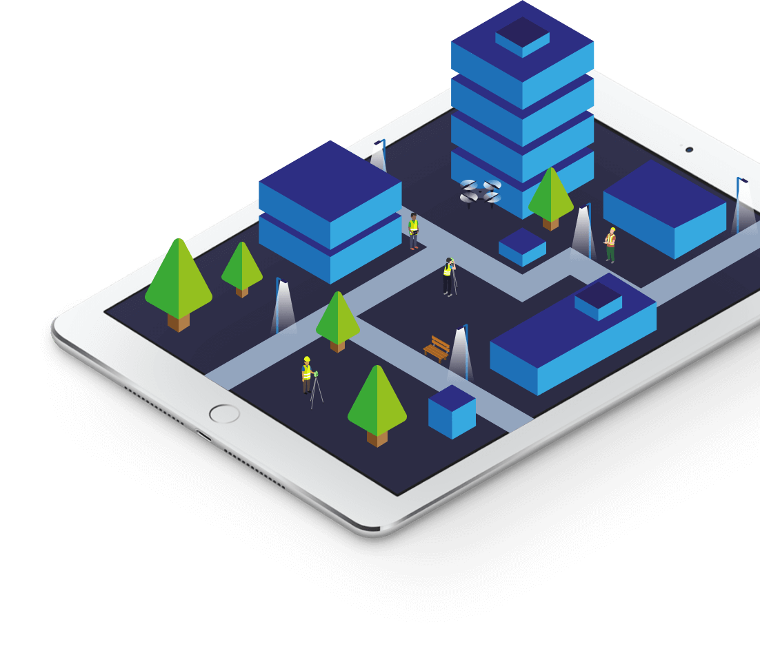


Topographical Ltd make surveys easy
How much does a land survey cost?

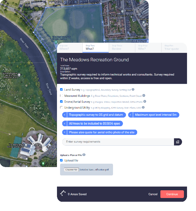
Map your survey area with our Google Maps tool
Search by address then click to create a polygon around the area that you need surveying.

See how much the survey will cost
We provide a free, fixed price quote and will get in touch first if we have any queries.

Happy? Arrange access & wait for your drawings
Our surveyors will attend site and produce clear and accurate drawings to pre-agreed timescales
Chartered, regulated & insured
Why use Topographical?
Technical Expertise
We are qualified and experienced surveyors with the latest tech.
Accurate and Precise
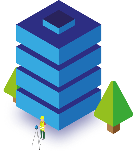
We use high-end total stations, 3D laser scanners, drones and GPS units in experienced hands.
Great modern service
We harness technology to provide service in keeping with WFH culture.
Intelligent Drawings
Our CAD drawing templates are carefully considered to provide ease of use for architects, engineers and planners.
Discrete & Confidential
Any sensitive details surrounding your project will be respected throughout the process.
Regulated by RICS
We practice to globally recognised ethical and professional standards. RICS best practice is at the heart of our workflows.

Planners
Site Analysis - Feasibility Studies - Zoning and Land Use - Planning Applications - Environmental Impact Assessments (EIA) - Master Planning - Stakeholder Engagement
Project Managers
Project Feasibility - Budgeting and Cost Estimation - Site Layout Planning - Regulatory Compliance - Risk Management - Construction Coordination - Progress Monitoring
Architects
Design Integration - Building Modifications - Site Layout - 3D Modeling - Accessibility Compliance - Historical Building Conservation - Construction Planning
Surveyors
Building condition surveys - Estimating costs - Structural assessments - Property valuations - Light impact assessments - Health and safety checks.
Engineers
Foundation Design - Infrastructure Design - Structural Analysis - Drainage and Water Management - Utility Placement - Slope Stability and Earthworks - Construction Support
Compliance
Land Ownership and Title Verification - Lease Agreements - Easements and Rights of Way - Development Agreements - Property Transactions - Planning and Zoning Compliance

Lets Make It Clear
Helping you to understand your site
Digitising the natural and built environment is what we do. Delivered in your choice of electronic format to support a wide range of engineering, planning and architectural disciplines and skill sets.